
Mapping the country
Mapping the country
Mapping a country is the first fundamental step in any census process. Its objective is to draw maps of the whole country down to each house, to determine how many houses there are to visit and count.
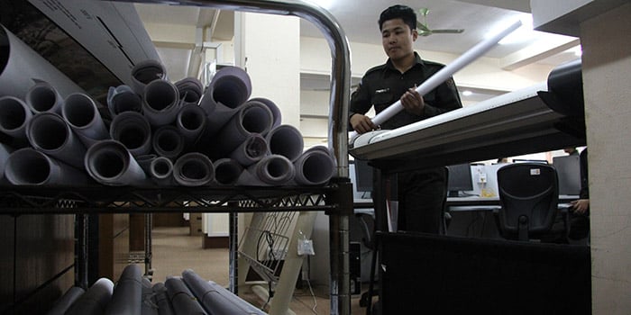
The process of preparing census enumeration area maps for Myanmar began in June 2012.Township Immigration Officers who prepared the maps were trained on the objectives of the census, the roles of maps in the census process, concepts of sketching maps at township and ward/village tract levels, and plotting new landmark features on the maps. After merging all topographical sheets that make up the entire country, maps of each of the 330 Townships were printed and distributed to the respective Township Immigration field offices. The Township Immigration Officers then collected information on the total number of households and the population of institutions in each ward and village tract.
Maps to Guide Interviewers
Maps were drawn for over 16,000 village tracts and wards. In total, 81,750 enumeration areas were created for each township, covering almost the entire country. These maps guided interviewers during the collection of data. In the census process, each interviewer was assigned to a specific enumeration area which included between 100 and 150 homes. The maps ensured that interviewers stayed within the boundaries of their assigned areas (enumeration area) and avoided omissions or duplications when visiting households.
Using enumeration areas also helped to better understand the costs of travel, the number of interviewers that needed to be recruited, and the materials that needed to be procured, so it was an important stage of both the planning and the census-taking process.
Mapping Conflict-Affected Areas and Camps for Internally Displaced Persons
Conflict-affected areas and camps for internally displaced persons were included in the mapping process. In conflict-affected areas, the Ministry of Immigration and Population, now the Ministry of Labour, Immigration and Population, reached informal agreements with various armed groups to allow these areas to be mapped and included.
Camps for internally displaced persons were mapped with the help of community leaders, UN agencies and NGOs.
The Figures
- 8181,750 maps were developed to delineate the enumeration areas in the country
- 3,3,792 maps had to be produced per month, or 125 per day, to be ready for March 2014
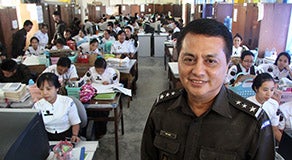
"We used Google Earth to produce the first map of the towns, which we sent to township officers," explained U Nyi Nyi, Director of the Department of Population. "Then each township divided the map into enumeration areas. Once we finished the maps for the enumeration areas and the household listing, we knew how many questionnaires and enumerators we needed," U Nyi Nyi added.